Running Trails in close proximity to the HATC Kühtai
Running and Nordic Walking are a useful complement to conventional sport altitude training at the centre.
The training trails commence from the Kühtai Tourist Office (2020m):
- Dreiseenrunde (Three Lakes Circuit) 8,9 km, 447
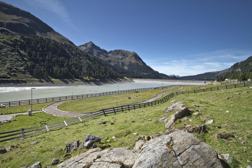
Altitude metres Leaving from the tourist office via the valley station of the Three Lakes Railway, steady uphill to Finstertal Reservoir – Drei-Seen-Hütte – the Plenderleseen – round the Hirschebensee along the single track back to the start.
- Zirmbachalm 7,4 km, 232 Altitude Metres
From the tourist office along the main road, through the forest to the Zirmbachalm and back.
- Schwarzmoosrunde 8,6 km, 414 Altitude Metres
Rising steadily from the tourist office to the Kaiser Maximilian Hut on the black plateau and back.
- Kaiser Franz Josef-Weg 11,8 km, 414 Altitude Metres
From the tourist office, heading along the main road, just before the bridge to the Kaiser-Franz-Josef way, then on undulating terrain, partly on single trail and partly on forest track to Marlstein and back.
- Finstertalstrecke 7,1 km, 228 Altitude Metres
With the Three Lakes Lift to the mountain station, then on to the Drei-Seen-Hütte and to the south end of the Finstertal reservoir and back. Variation: along the dam road back to the tourist office(9.3km 220 Altitude Metres)
- Kühtairunde 6,1 km, 161 Altitude Metres
Head along the road to the starting point of the Längental dam, along the southwestern shore and return via the single trail to the tourist office.
Training routes starting at the Längental Reservoir (2.020m):
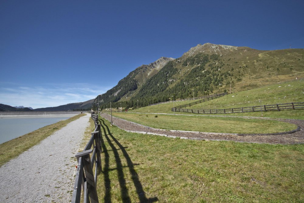
- Längental-Reservoir Loop 2,4 km, 15 Altitude Metres
Follow the southwestern shore along a short slope towards Längental and back along the north shore.
- Knappenweg 11,6 km, 562 Altitude Metres
From the start at the Längental reservoir, head along to the Mittergrathütte and on to Upper Issalm, over the Knappenweg to the Balbach Sennhütte and back.

 Höhenleistungszentrum Kühtai Broschüre - DE/ENG (1,9 MB)